


GIS Committee
The GIS Coordinating Committee was established in 2003 by an Agreement of the Prime Minister’s Office (No: 0593/PMO). The Committee held its first meeting since 2003 on December 2011. In this meeting it was decided that the composition and tasks of the Committee will be updated. Updates can be made by a new Decision to replace the existing Agreement from 2003. The meeting also decided that the NGD, with support of the SNGS, will prepare a new list of tasks as well as a workplan for the Committee for year 2012.

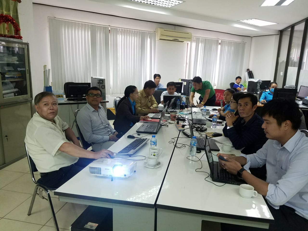
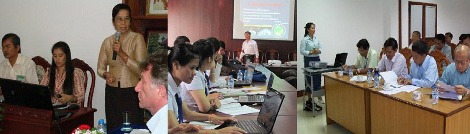
GIS Committee meeting in Vang Vieng, June 2015
The Committee is needed for inter-ministerial co-operation and coordination in use and distribution of geographic information. Such coordination is necessary, because there is neither general regulation or policies about geographic information nor an authority having an overall mandate to decide on standards and practices of production, distribution and sharing of geographic information. As a result authorities have their own standards and practices which are not always coherent. It also targets to increase the awareness on geographical information by evaluating current levels in educational institutions.
The scope of work of the Committee covers sharing and distribution of geographic information of all Government institutions, while production and management of data belongs within jurisdiction of line organizations and is regulated by several Decrees and Decisions. The Committee supports also introduction of standards for data production and management and promotes exchange of information to avoid overlapping work.
The Committee is a main advisory body of the Government for issues related to geographical information without any decision-making powers. It makes recommendations and prepares proposals for necessary decisions to be made about geographic information.
The Director General of the NGD is the chairman of the Committee. Other members are director- level representatives from Ministries and Institutions producing and using geographic information. The NGD will request the relevant Ministries and Institutions to nominate their representatives and their substitutes to the Committee.
The Committee will have a secretariat consisting of two secretaries from the NGD and two from other institutions represented in the Committee. One of the secretaries from the NGD will act as the Secretary General.
The Committee will establish a Technical Working Group(s) to discuss and prepare technical issues to be decided by the Committee. Members of The Technical Working Group(s) will be professional/technical staff from the Ministries and Institutions represented in the Committee as well as experts from other parties including the private sector. All decisions will be done by the Meeting of the Committee.
The Committee will co-operate with other relevant organizations in the field of geographic information and it will be involved on the round table discussions.
Recent GIS related news: