Log In
|
Register
|
Webmail
English
ພາສາລາວ
ການຝຶກອົບຮົມ ການສ້າງເຟຣມ ແລະ ອົງປະກອບແຜນທີ່ ດ້ວຍ Arc Map
Photogrammetry office
Survey team
Equipment
Aerial photos
NGD Office
Archive
Photogrammetry (ພະແນກວັດແທກຮູບຖ່າຍ)
Cartography (ພະແນກແຜນທີ່)
Photo Map (ແຜນທີ່ພາບຖ່າຍ)
Science and Technology (ພະແນກວິທະຍາສາດ-ເຕັກນິກ)
Survey ( ສໍາຫຼວດວັດແທກພູມສັນຖານ)
Digital Maps
Producer and supplier of assorted maps of Lao PDR (ຜະລິດ ແລະ ຈຳໜ່າຍ ແຜນທີ ສປປ ລາວ ທຸດຊະນິດ)
Home
Community
GIS Committee
Students
International Organisations
Private Companies
Government Agencies
NGOs and other institutions
Products & Services
Geoportal (Professionals)
Geoportal (Public)
Services
Aerial Photography
Maps
Digital Data
Project based services
Survey
Certification
Equipment Hire
Training
Forum
Publications
Decrees – Mandates
Workshops
Study and Research
Downloads
Statistics
Business Registration
Spatial Data
Data order forms
Gallery
Videos
Photos
About Us
Divisions
NGD News archive
History
Staff
GoogleTestMap
Achievements
Archive for the 'Digital Maps' Category
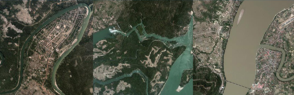
Price List for Digital Data
Permanent link to this post
(6 words, estimated 1 secs reading time)
Map Smaple Scale 1:5,000
Map Sample Scale 1:5,000
Based on Aerial Photograph Taken in 2003
502 Map sheets available
Formats: Shp, Dwg, Tab, JPG, PDF
Permanent link to this post
(21 words, 1 image, estimated 5 secs reading time)
Next