


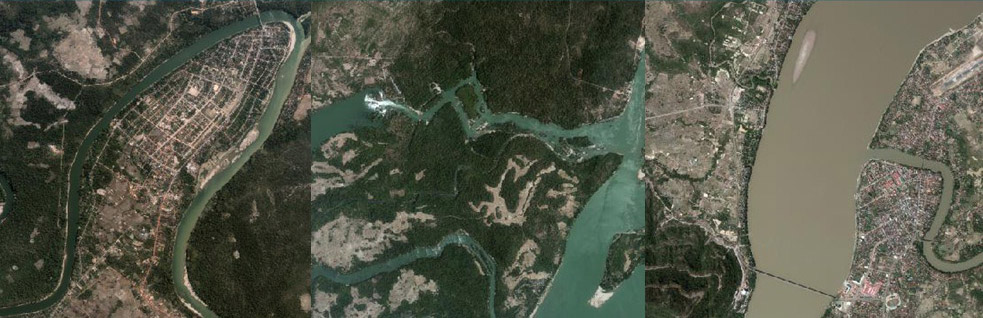


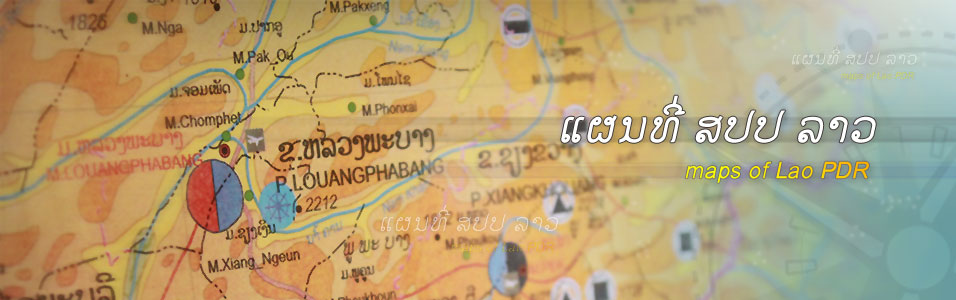


Land Use
Updated in 2003, based on Aerial photo taken in 1999 100.000 Scale, 175 map sheets covering whole country Available in .shp; .dwg; .tab 10,000 Lao Kip/map sheet
Updated in 2003, based on Aerial photo taken in 1999 100.000 Scale, 175 map sheets covering whole country Available in .shp; .dwg; .tab 10,000 Lao Kip/map sheet
Updated in 2003, based on Aerial photo taken in 1999 100.000 Scale, 175 map sheets covering whole country Available in .shp; .dwg; .tab 10,000 Lao Kip/map sheet