Log In
|
Register
|
Webmail
English
ພາສາລາວ
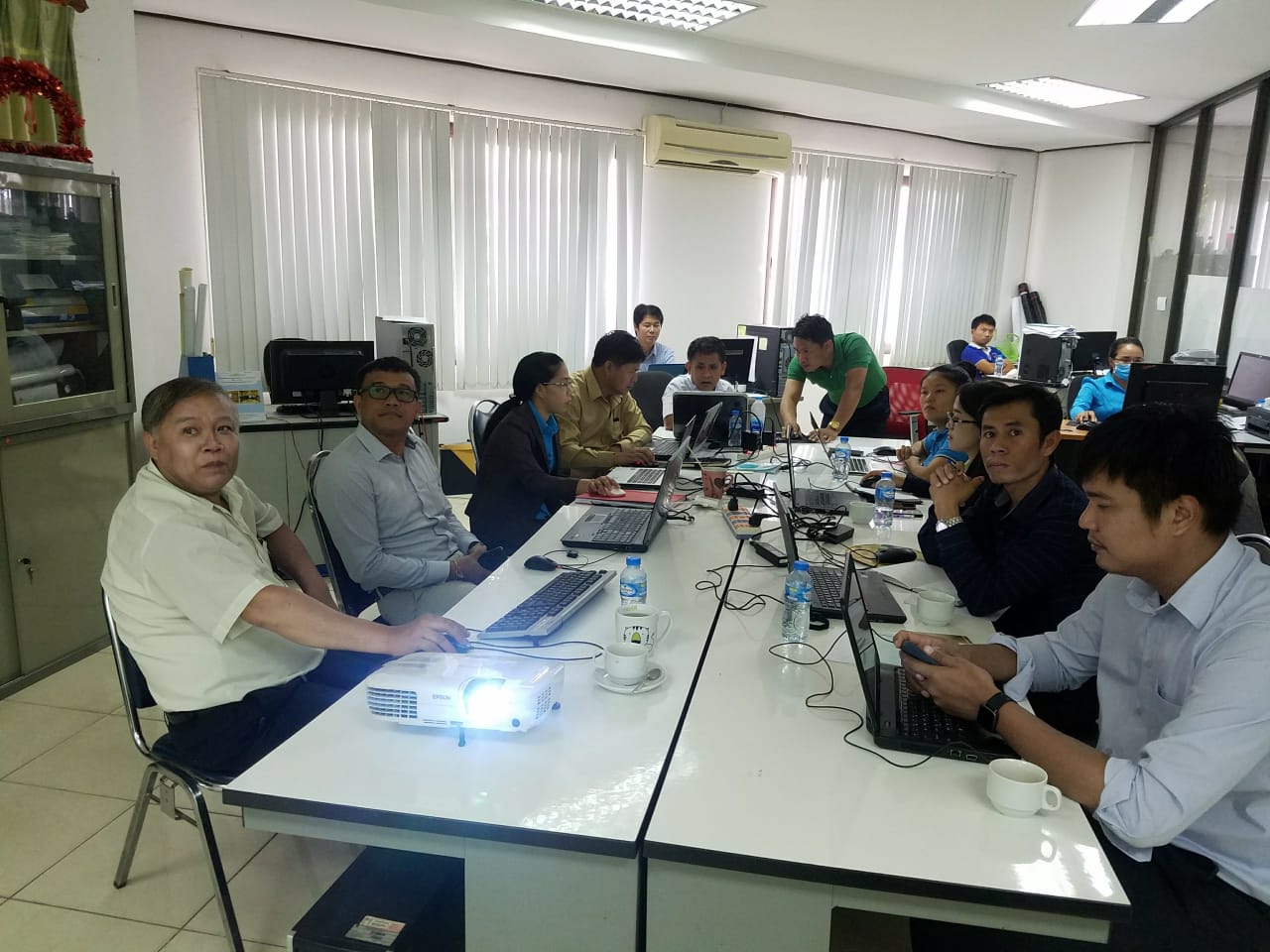
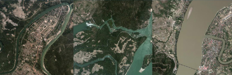
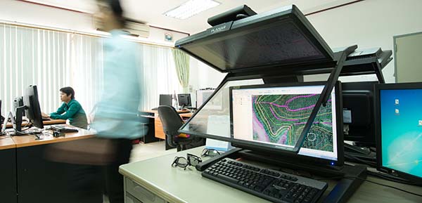
ການຝຶກອົບຮົມ ການສ້າງເຟຣມ ແລະ ອົງປະກອບແຜນທີ່ ດ້ວຍ Arc Map
Photogrammetry office
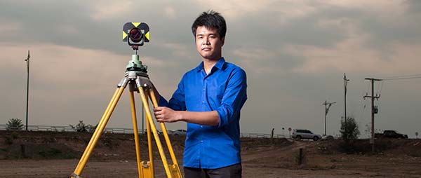
Survey team
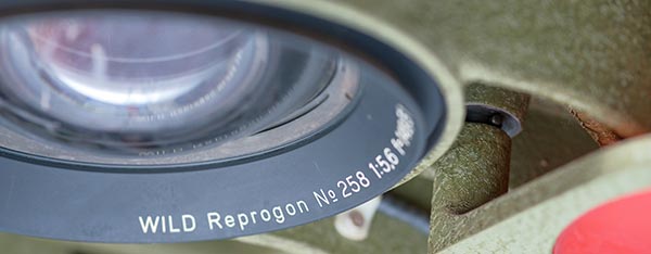
Equipment
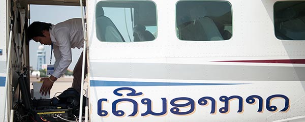
Aerial photos
NGD Office
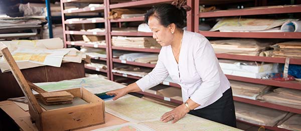
Archive
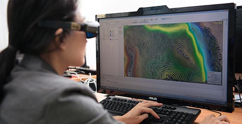
Photogrammetry (ພະແນກວັດແທກຮູບຖ່າຍ)
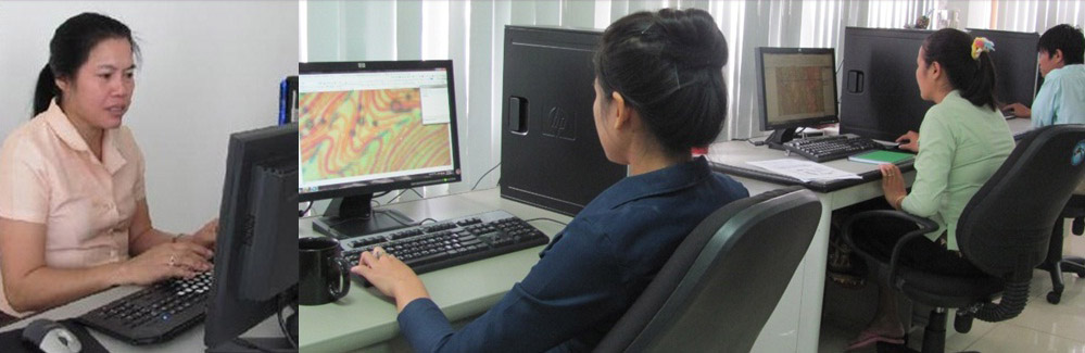
Cartography (ພະແນກແຜນທີ່)
Photo Map (ແຜນທີ່ພາບຖ່າຍ)
Science and Technology (ພະແນກວິທະຍາສາດ-ເຕັກນິກ)
Survey ( ສໍາຫຼວດວັດແທກພູມສັນຖານ)
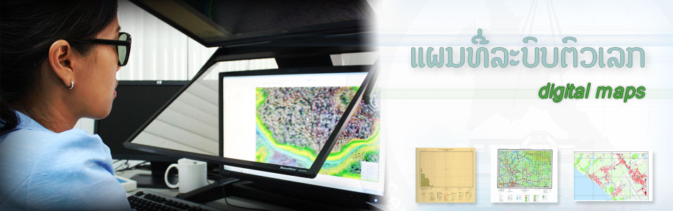
Digital Maps
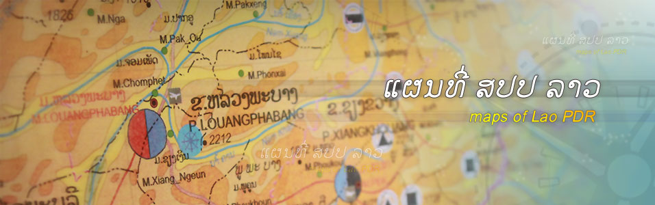
Producer and supplier of assorted maps of Lao PDR (ຜະລິດ ແລະ ຈຳໜ່າຍ ແຜນທີ ສປປ ລາວ ທຸດຊະນິດ)
Home
Community
Students
GIS Committee
International Organisations
Private Companies
Government Agencies
NGOs and other institutions
Products & Services
Geoportal (Professionals)
Geoportal (Public)
Services
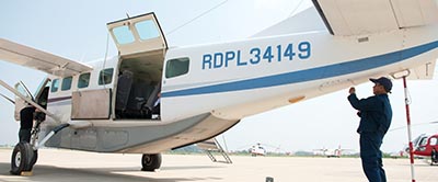
Aerial Photography
Maps
Digital Data
Project based services
Survey
Certification
Equipment Hire
Training
Forum
Publications
Laws and Regulations
Workshops
Study and Research
Downloads
Business Registration
Spatial Data
Data order forms
Statistics
Gallery
Videos
Photos
About Us
GoogleTestMap
History
Staff
Divisions
NGD News archive
Achievements
Workshops
By
admin
on
February 9, 2012
ການຝຶກອົບຮົມ ການສ້າງເຟຣມ ແລະ ອົງປະກອບແຜນທີ່ ດ້ວຍ Arc Map
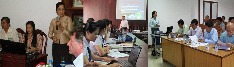
Seminar on “Geographic Information from Survey, Aerial photography and Mapping for the Central High Ranking Officials of Lao PDR”
ກອງປະຊຸມສຳມະນາ 2012 (2012 Workshops)
AFLAG Meeting
2011 Workshops
| Leave a response
Comments are closed.
Data order forms
Forum