

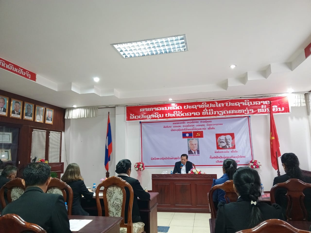
Seminar on “Geographic Information from Survey, Aerial photography and Mapping for the Central High Ranking Officials of Lao PDR”
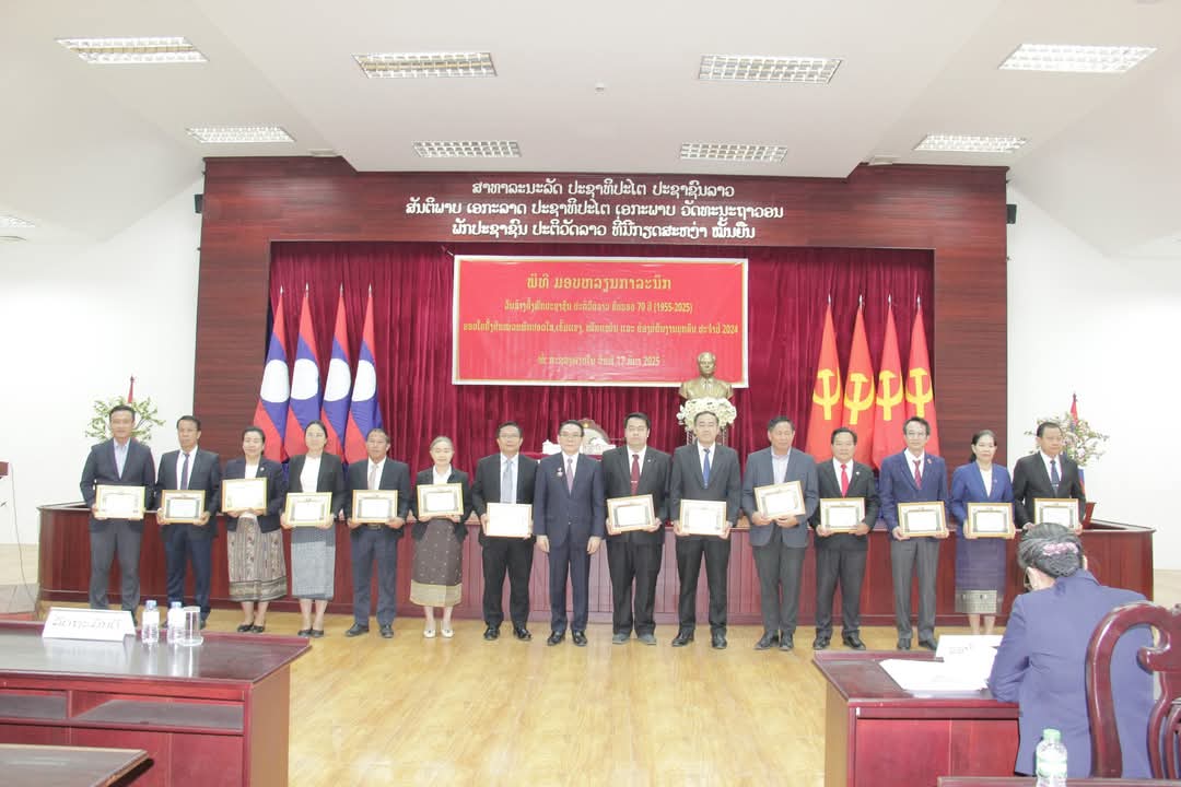
On Friday 25th October, 2013 at Lao Plaza Hotel Vientiane Capital, a seminar on “Geographic Information from Survey, Aerial photography and Mapping” was organized for the central high ranking officials. The seminar was chaired by H.E Mr. Khampane Philavong, Minister of Home Affairs with participations of Deputy Ministers of the Ministries, equivalent organizations at central levels as well as the Directors Generals of the Departments and some technical staff of the Ministry of Home Affairs. Mr. Khampane Philavong said that: this seminar on Geographic Information Survey and Mapping is being taken place in the time that the whole government officials as well as the entire Lao people are actively working on implementing the directives of the 9th Conference of the Lao People’s Revolutionary Party, and the 7th 5-year Social-Economic Development Plan of the Lao Government, especially the implementation of the Four Breakthrough Directives and the tentatively trial on implementation of the Three Builds Directives throughout the country. The geographic information from the survey, aerial photography and mapping is significantly used in planning for the national social-economic development, management, inspection and monitoring the natural environment, national defense and public security. In addition, geographic information also contributes to the strengthening of social-economic development, international connection as well as cooperation with foreign countries.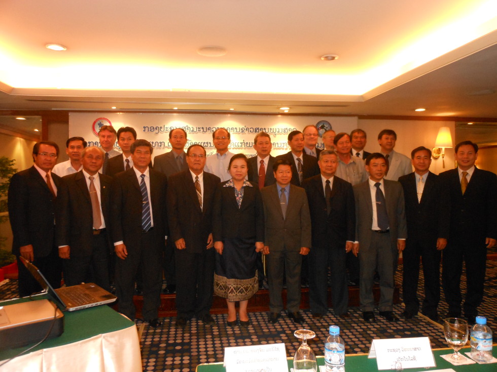
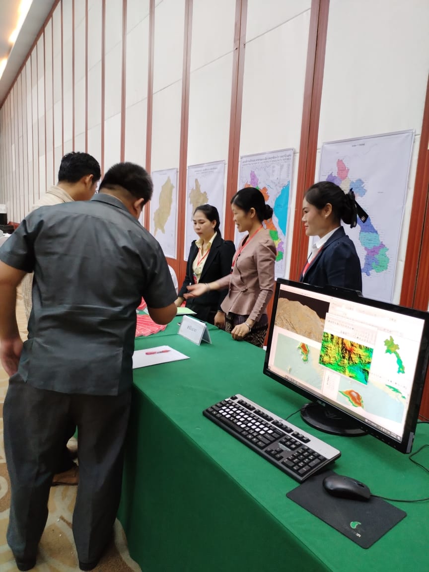
Previously, Lao PDR had been receiving assistances and supports in geographic survey and mapping from a number of foreign countries such as the former Soviet Union, Vietnam, Japan and Finland. At the time being, the National Geographic Department is a counterpart in implementing the Strengthening National Geographic Services Programme in Lao PDR which is producing the topographic maps scaled 1:50,000 for six Southern provinces. And this program, with a grant provided by the Government of Finland, continues to implement its work in the central part of the country to produce new digital updated and accurate geographic information with an aim to establish the National Geographic Information System Base which is expected to complete by the year 2015. The need for geographic data during the era of globalization and international connection is a necessity factor for the work implementation of every sector in order to sustain the current and further developments. Geographic data is supporting and strengthening the planning of social-economic development, generating foreign investors to speed-up their investment decisions, and is also contributing to the advantage of joining the AEC. To ensure the accuracy of geographic data and reducing of unnecessary cost, it requires new, updated and improved data from the survey, aerial photography and mapping for each period of time. It also requires a use of the same geographic data from the same ground control system for the whole country. The implementation and development of this work is to be done along with the tone of new changes and the growing of scientific-technology of the current world which is continually advanced. At the same time, it requires modern and update tools and equipments, skillful staff as well as funding to make this work functioning.
The delegates, from ministries, organizations at the central level, recognized the importance of geographic data on social-economic development, national defense and public security, and will take the contents of this Seminar for the implementation and expanse into the scope of their works effectively. They will also provide directive guidance, support and facilitate, coordinate and collaborate with organizations in establishment of the National Geographic Information with accuracy and update, unitary technical standard and continues growing in order to meet the needs of social-economic development, national defense and public security, and to be effectively connected with the region and international levels.