Log In
|
Register
|
Webmail
English
ພາສາລາວ
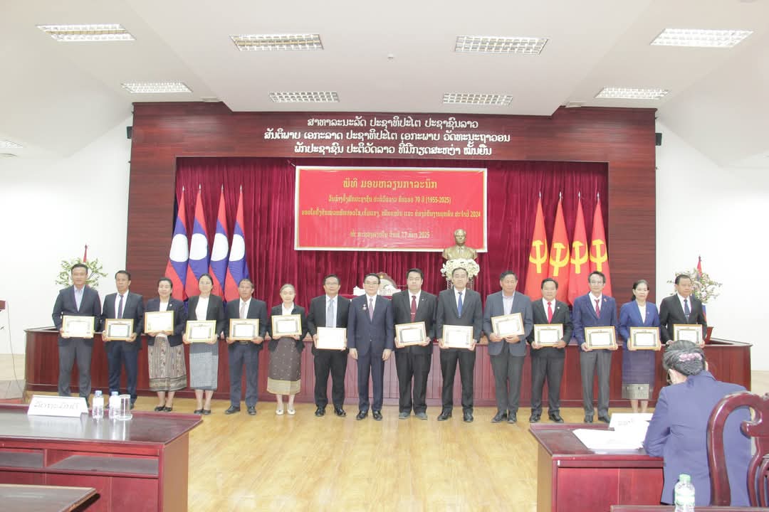
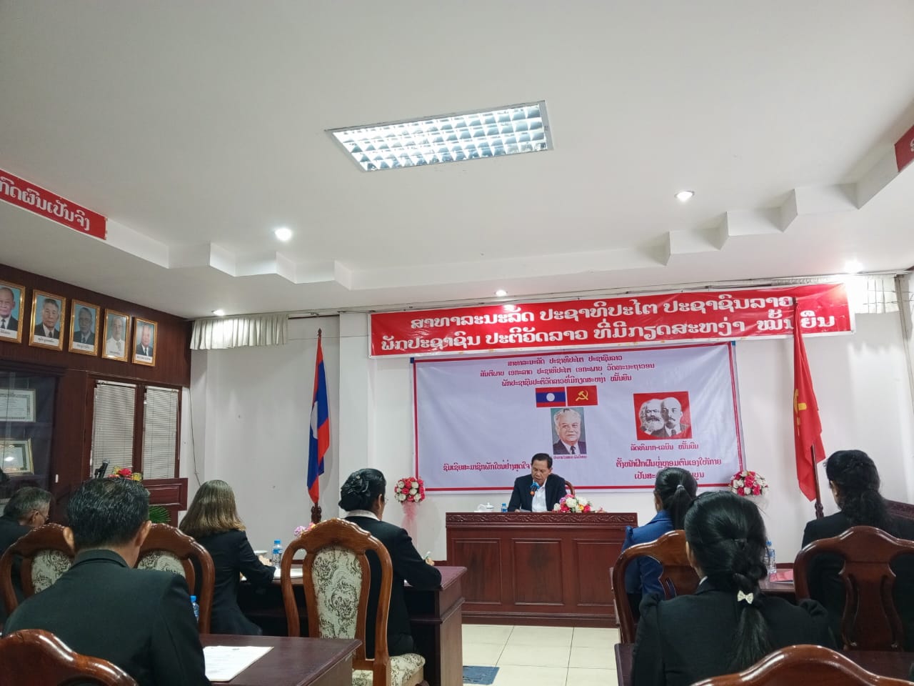
ພະນັກງານ-ລັດຖະກອນ ກົມແຜນທີ່ແຫ່ງຊາດເຂົ້າຮ່ວມພິທີປະດັບຫຼຽນທີ່ລະນຶກ 70 ປີ ວັນສ້າງຕັ້ງພັກ
ແຈ້ງການ ການຄຸ້ມຄອງ ແລະ ຕິດຕາມ ການກວດກາວຽກງານສຳຫຼວດ ແລະ ສ້າງແຜນທີ່
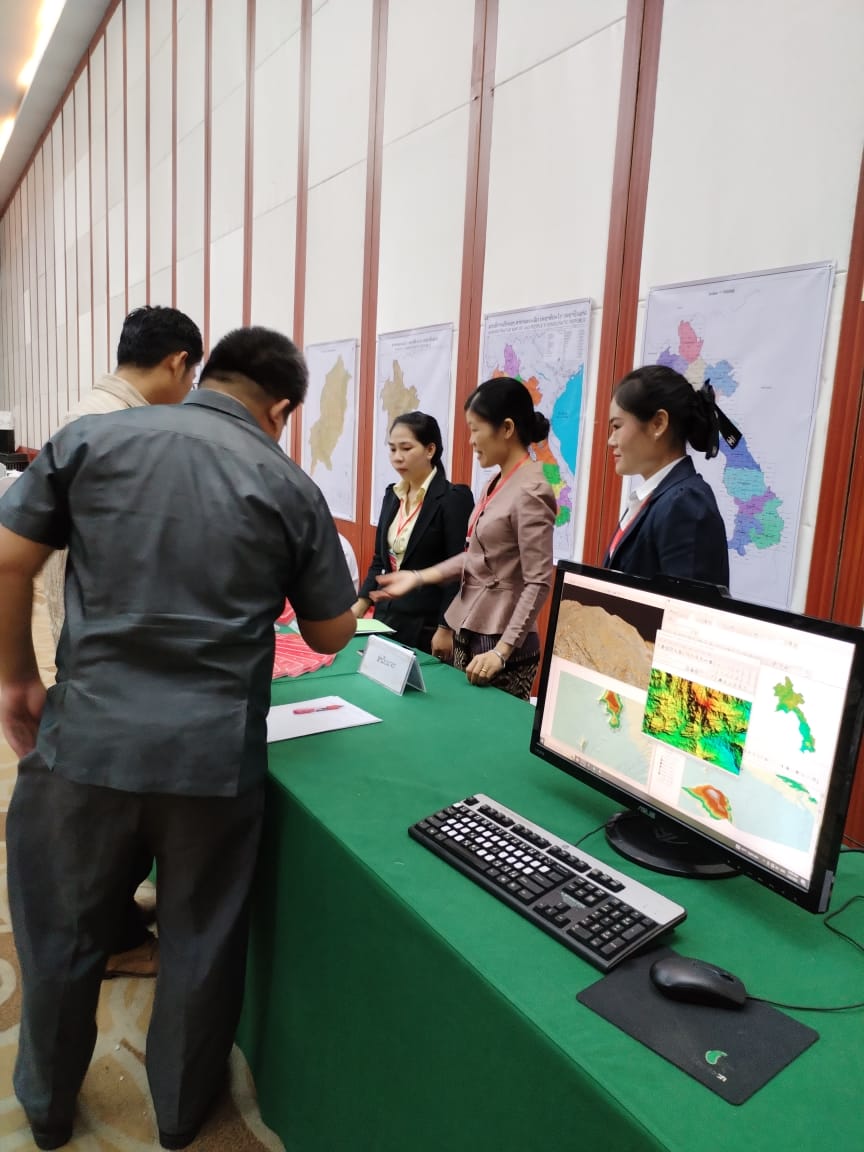
ກອງປະຊຸມເຜີຍແຜ່ຜົນສຳເລັດໂຄງການທົດລອງ ສ້າງແຜນທີ່ 3 ມິຕິ
ກອງປະຊຸມເຜີຍແຜ່ຜົນສຳເລັດໂຄງການທົດລອງ ສ້າງແຜນທີ່ 3 ມິຕິ
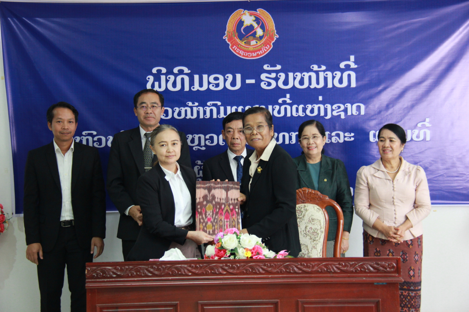
ພິທີມອບ-ຮັບໜ້າທີ່ ລະຫວ່າງ ທ່ານຫົວໜ້າກົມແຜນທີ່ແຫ່ງຊາດ ຜູ້ເກົ່າ ແລະ ຜູ້ໃໝ່
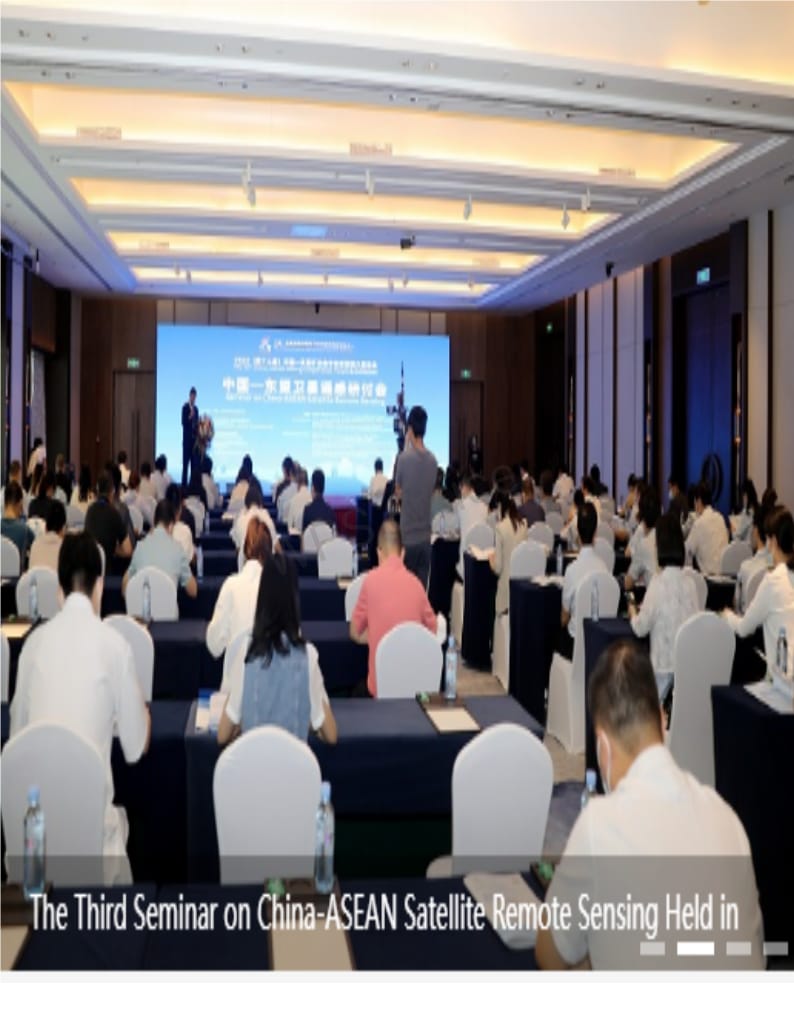
ກອງປະຊຸມສຳມະນາຄັ້ງທີ 3 ຂອງສູນຂໍ້ມູນຂ່າວສານພາບຖ່າຍດາວທຽມຈີນ-ອາຊຽນ
ກອງປະຊຸມເຜີຍແຜ່ ຜົນຂອງກອງປະຊຸມຄະນະປະສານງານດ້ານການບໍລິການອາຊຽນຄັ້ງທີ 104 ແລະ ປຶກສາຫາລືການຈັດຕັ້ງປະຕິບັດສັນຍາການຮັບຮູ້ຊຶ່ງກັນ ແລະ ກັນ ດ້ານແຮງງານທີ່ມີສີມືໃນອາຊຽນ.
ກອງປະຊຸມລາຍງານຄວາມຄືບໜ້າໄລຍະກາງສະໄໝ ຂອງໂຄງການສ້າງພື້ນຖານໂຄງລ່າງດ້ານຂໍ້ມູນຂ່າວສານພູມສາດ ແລະ ເສີມສ້າງຄວາມອາດສາມາດ ເພື່ອການພັດທະນາເຂດເສດຖະກິດພິເສດ ຢູ່ແຂວງສະຫວັນນະເຂດ, ສປປ ລາວ.
ຮູບພາບການເຄື່ອນໃຫວ ຂອງກົມແຜນທີ່ແຫ່ງຊາດ ປີ 2022
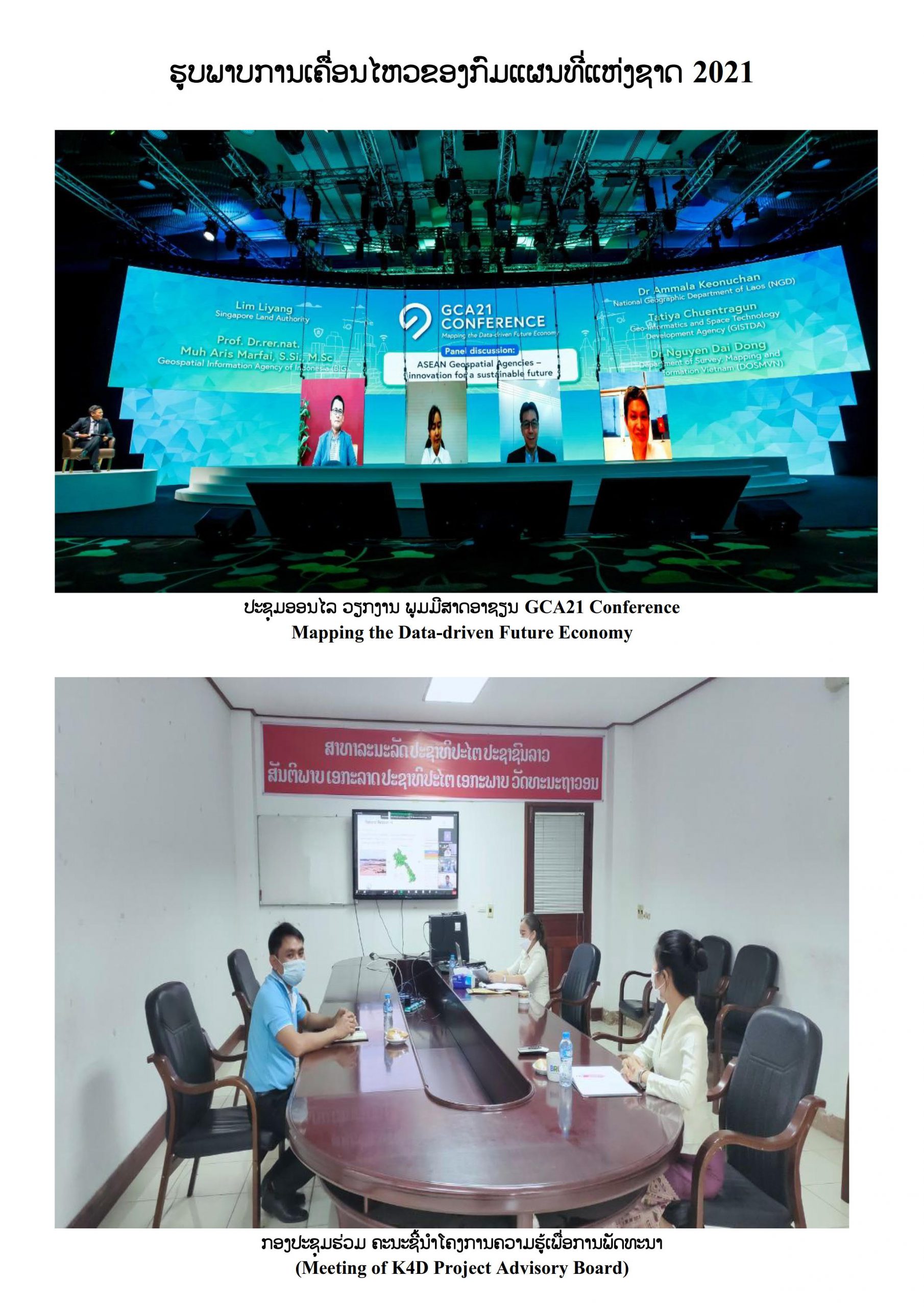
ຮູບພາບການເຄື່ອນໃຫວ ຂອງກົມແຜນທີ່ແຫ່ງຊາດ ປີ 2021
ພິທີ ຮັບສະມາຊິກພັກສໍາຮອງຂອງໜ່ວຍພັກ ກົມແຜນທີ່ແຫ່ງຊາດ, ກະຊວງພາຍໃນ
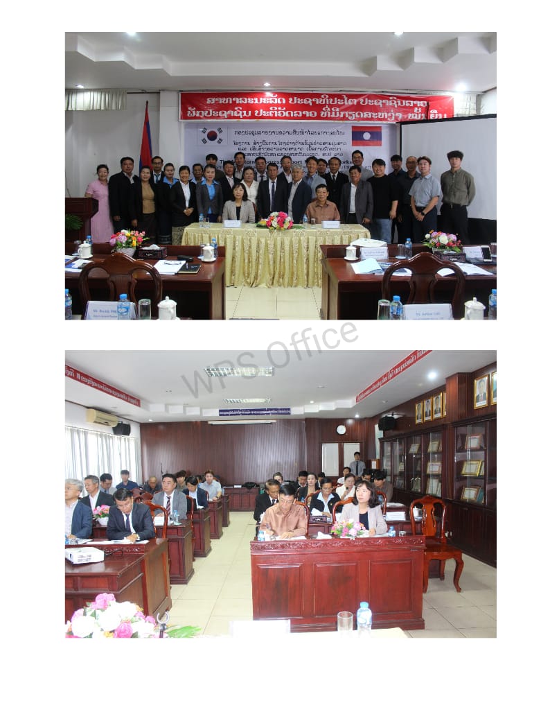
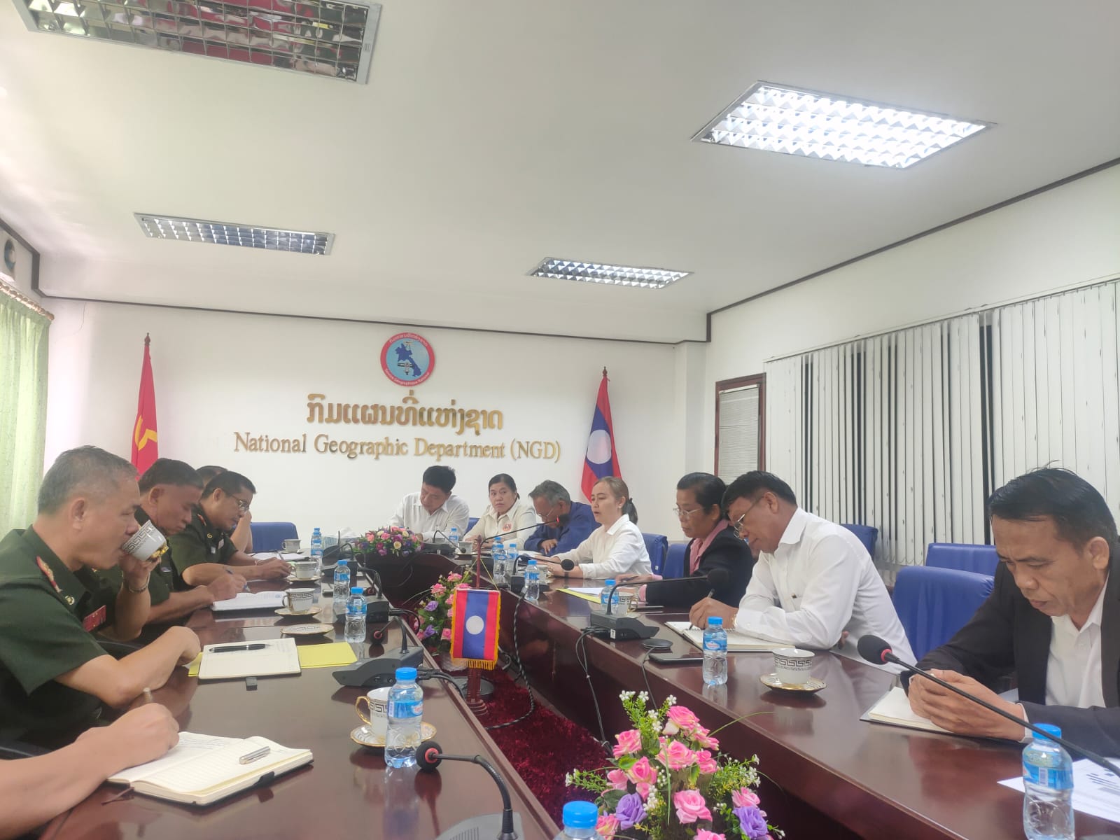
ກອງປະຊຸມ ພົບປະປະຈຳປີ 2023 ລະຫວ່າງ ກົມແຜນທີ່ກອງທັບ, ກົມໃຫ່ຍເສນາທິການ ກະຊວງປ້ອງກັນປະເທດ, ກົມແຜນທີ່ແຫ່ງຊາດ ແລະ ສູນສຳຫຼວດວັດແທກ ແລະ ແຜນທີ່ ກະຊວງພາຍໃນ
About Us
ກົມແຜນທີ່ແຫ່ງຊາດ, ກະຊວງພາຍໃນ ເຂົ້າຮ່ວມ “ກອງປະຊຸມຄະນະກໍາມະການປະສານງານດ້ານການບໍລິການອາຊຽນ (CSS) ຄັ້ງທີ 88 (Surveying Working Group)” ຊຶ່ງຈັດຂຶ້ນໃນລະຫວ່າງວັນທີ 10-13 ຕຸລາ 2017 ທີ່ ສຽມລຽບ, ກໍາປູເຈຍ.
Home
Community
Students
GIS Committee
International Organisations
Private Companies
Government Agencies
NGOs and other institutions
Products & Services
Geoportal (Professionals)
Geoportal (Public)
Services
Aerial Photography
Maps
Digital Data
Project based services
Survey
Certification
Equipment Hire
Training
Forum
Publications
Laws and Regulations
Workshops
Study and Research
Downloads
Business Registration
Spatial Data
Data order forms
Statistics
Gallery
Videos
Photos
About Us
GoogleTestMap
History
Staff
Divisions
NGD News archive
Achievements
Products & Services
By
admin
on
January 4, 2012
NGD is offering various products and services to be purchased at the NGD office. You can
contact NGD
for further information.
Comments Off
on Products & Services
Comments are closed.
Community