
GIS Committee workshop discusses coordinated collection and use of geographic data
Vang Vieng, 5 June 2015. In a three-day workshop, members of the Geographic Information Systems (GIS) Committee worked towards a joint understanding of standardized production, sharing and technical standards of geographic data.

GIS committee members in Vang Vieng
The main aim of the workshop was to come to agreements on a joint data sharing policy and technical standards. Coordination of line ministries regarding geographic data is necessary, because there is no general regulation on geographic information, nor an authority to decide on standards and practices of production, distribution and sharing of geographic information. As a result authorities have their own standards and practices, which are not always coherent. The GIS Committee supports the introduction of standards and promotes exchange of information to avoid overlapping work.
GIS Committee Chairman, National Geographic Department (NGD) Director General Mr. Bouasoth Souvannakoumane stated the importance of standardized systems for data use and sharing: ”The coordination of data collection, including the use of standardized maps across all Government organizations is a main prerequisite of a modern and useful system of geographic data. It saves resources to coordinate the efforts of all departments working with geographic data, and in the end furthers the development of our country.”
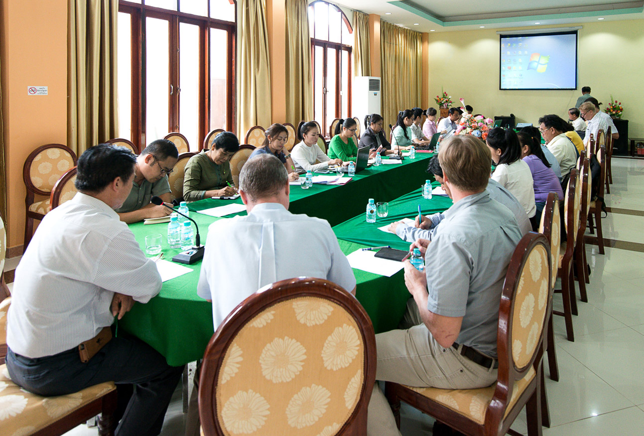
GIS committee discussing about data sharing policies
Attendees included representatives of the Ministries of Agriculture and Forestry, Home Affairs, Natural Resources and Environment, Public Works, Energy and Mines, Education and Sports and the Lao Statistics Bureau.
During the workshop, various ministerial departments presented their way of data collection and use and shared information on applied data formats. On the second day, working groups discussed a draft data sharing policy and technical standards.
The workshop was supported by the Strengthening Natural Geographic Services -Project, with funding from the Government of Finland.