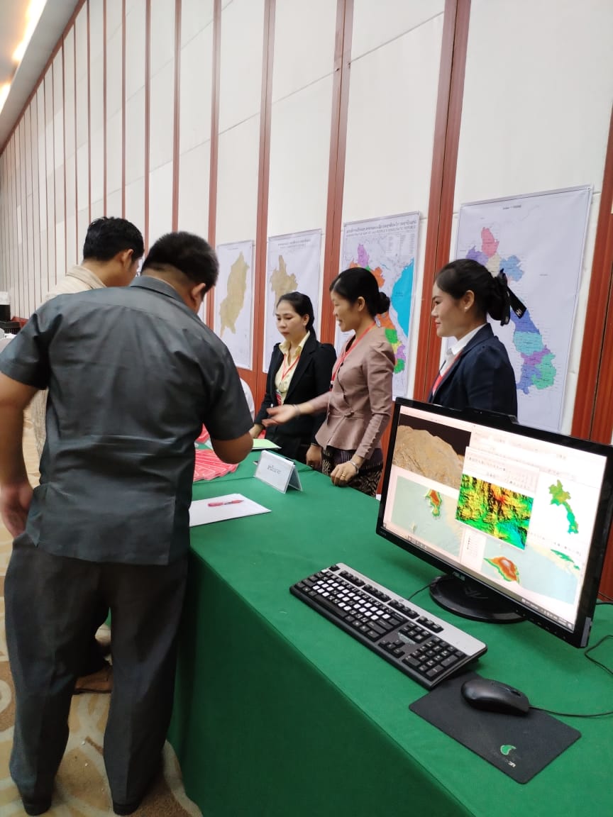
Digital Topographic Base Map 1 : 100 000
- Data are available for entire Laos, Provinces, Districts and Map Sheets (Tiles)
- Coordinate Systems: Lao97 geographic and Lao97 UTM Zone 47 and 48
- Coordinate System for Tiles only Lao97 UTM Zone 47 and 48
- Data Format: ESRI Shape, AutoCAD
- Digital data are based on the Topographic
Base Map of 1982 update of 1999
- Available Features:
- Administrative Boundaries
- Built up Areas
- Contours
- District Boundaries
- Land-use
- Main Roads
- Map Index
- Province Capitals
- Provinces
- River Lines
- River Polygon
- Roads
- Small Objects
- Spot Heights
- Villages
