By KL on December 4, 2013
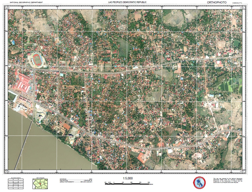
Digital Elevation Model
News
News_of_orthophoto_South_Laos_10_2013 MArp_ver05
Posted in Uncategorized | Leave a response
Comments are closed.