


Accurate air photos covering all Southern Laos and more
Accurate air photos covering all Southern Laos and more
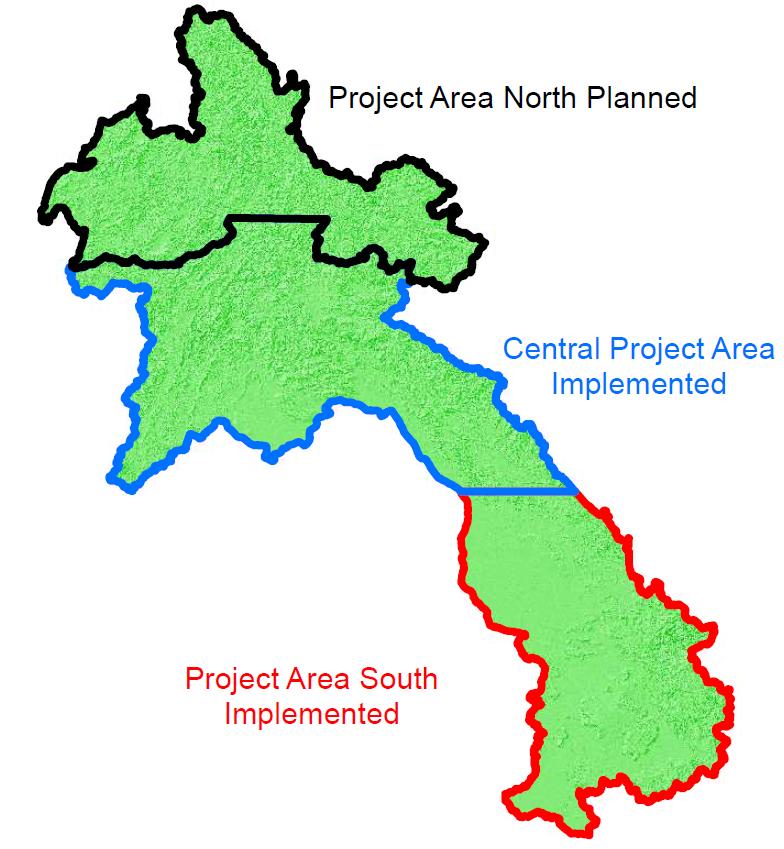
Finnish Government funded programme, Strengthening National Geographic Services (SNGS) in Lao PDR has prepared accurate digital orthophoto mosaic covering 71,000 square kilometer area (approximately 1/3 of the country) starting from Cambodian border in South and reaching to north covering half of the Khammouane province. Aerial photography was done from December 2010 to February 2011. The orthophoto mosaic was prepared by National Geographic Department (NGD) of Ministry of Home Affairs (MoHA) with the support of Finnish technical assistance team.
The digital photo map files and printable photo map sheets are divided according to the national map sheet index as 1:5000 scale map sheets. The pixel size of the orthophotos are 50 cm. The locational accuracy of pixels is 1-2 meters on flat areas. The photo files are available in WGS84 and Lao97 coordinate system. Color Infrared (CIR) images area available also on request and cover the same area. These CIR images can be used to assess the conditions of vegetation, agriculture land, forests etc. A three dimensional Digital Surface Model (DSM) covering the air photo mission area was also automatically produced. NGD uses this 3D model to construct height information to map sheets. DSM can be used as a separate product in many land cover related tasks and projects. For paying customers National Geographic Department and its sibling Surveying and Mapping Center (SMC) can create accurate 3D models from the mission data using photogrammetric measurement tools.
The digital photo map files, DSM data, printed photo map sheets and raw photos are available for government and private companies and projects from National Geographic Department in Vientiane. Examples of the photo mosaics are shown at NGD web site www.ngdlaos.la . The price of digital photo file is 6,000 Kip per square kilometer. Lao Government organizations get 20 % discount from the list price.
NGD is also working on to produce 1:50 000 map sheets of the Southern Laos. Currently all map sheets are ready waiting for field verification and all Southern Laos (totally 150 map sheets) will be finalized by 2014.
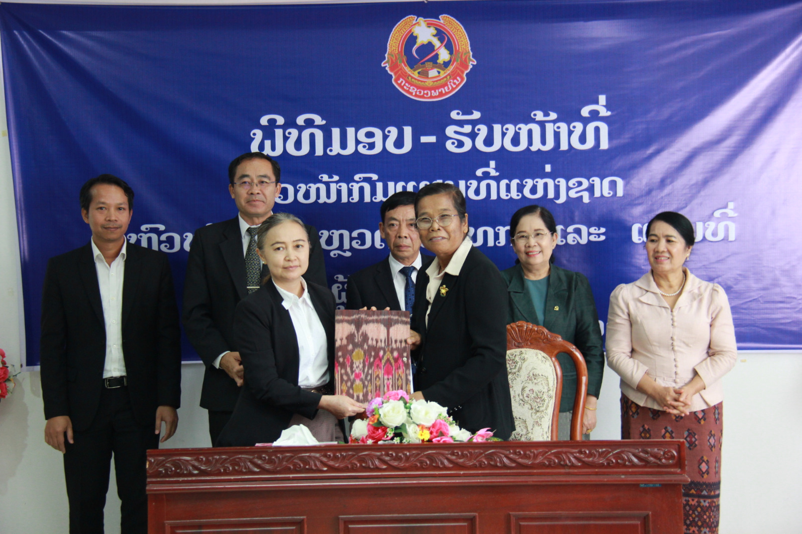
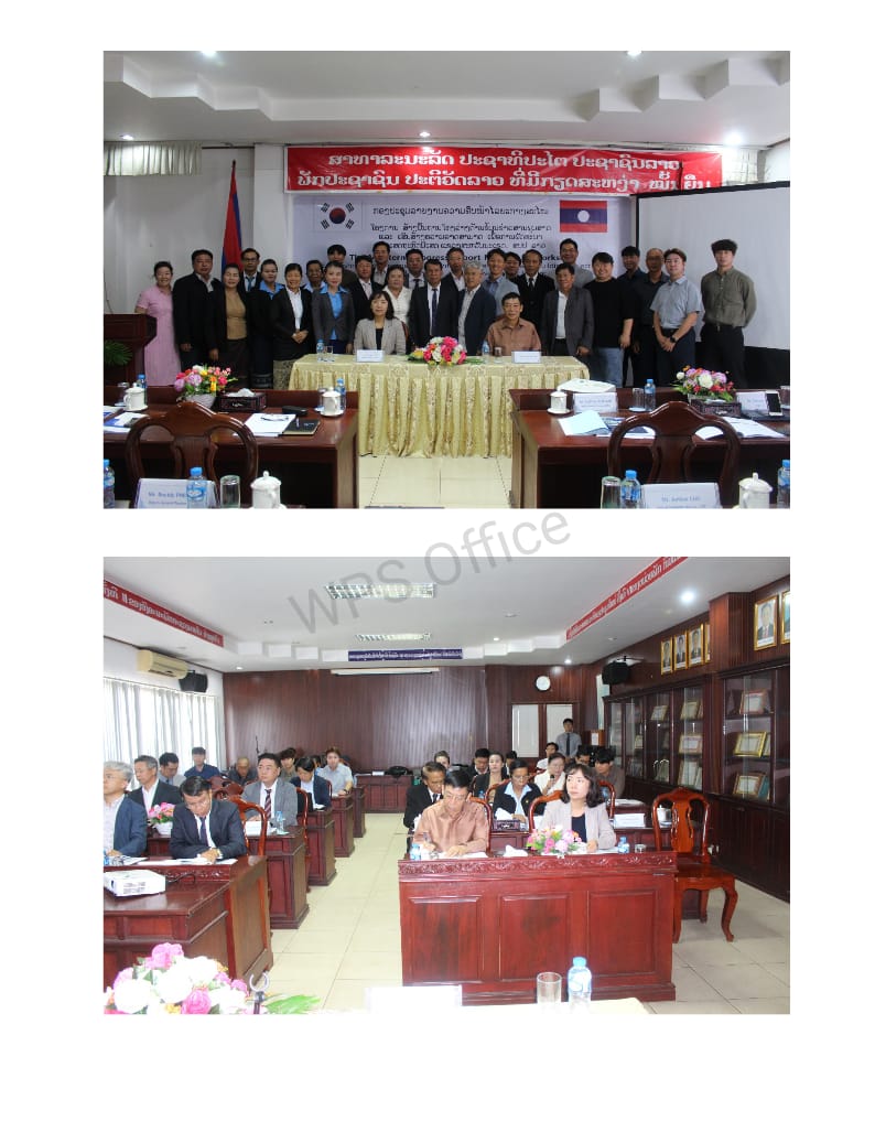
National Geographic Department has arranged several training seminars for government organizations, projects and NGOs about the use and availability of their products.
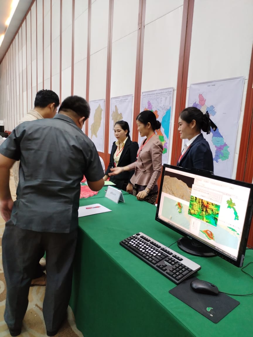
New Web Services using NGD’s Geoportal has been demonstrated in the seminars, too. With this standard service (WMS) the user can zoom in to village level and see accurately houses, yards of houses, roads, paths, rice paddys and even individual trees and bushes. User organizations can build their own land and location based applications using this new service. NGD will publish this service later, probably in October 2013. The service will cover southern provinces of Laos, but it will be expanded towards north, when new air photo and map data is available
National Geographic Department has continued to prepare accurate and up to date geographic information of Laos with help of the SNGS Program financed by Government of Finland.. New aerial photography mission covering next 1/3 of the country was completed between December 2012 and March 2013. This 90 000 square kilometer area air photo mission included the rest of Khammouan province area continuing up to north until half of Luang Prapang province area was covered. Accurate orthophoto products with 50 cm ground pixel size and other products may be available from this extended area by the end of the year 2013. The production of 1:50 000 maps of this part of the country will continue after the map sheets of southern territories are finalized.
Negotiations of the financing of the aerial photography covering the last third of Laos in year 2014 are going on between the Government of Laos and other donors.